Kansas City International Airport (MCI)
Orientation and Maps
(Kansas City, Missouri (MO), USA)
Founded at the beginning of the 19th century, Kansas City has grown dramatically over the years and features many historic, Art Deco style buildings. Today, Kansas City is a big and busy metropolis and has become one of America's most spacious cities, being particularly famous for barbecue cuisine.
On the northwestern side of the city and next to Ferrelview, the Kansas City International Airport (MCI) is located alongside the I-435 and I-29 interstates. Both taxis and KCI shuttle buses are a popular way to travel into the city center.
Kansas City International Airport (MCI) Maps: Important City Districts
Greyhound buses in Kansas City operate from the station along 12th Street and feature regular long-haul journeys to a range of destinations, such as Omaha and St. Louis. A range of city routes are provided by Metro Buses, while the Amtrak train station can be found just behind the city's Union Station.
The city's main east to west thoroughfare is the I-70 interstate, which links the two regions of Kansas City, running over the Kansas River. In the city's downtown district, interstates I-70, I-35 and I-29 all meet and provide access to much of the city and across the Missouri River.
Kansas City's I-435 interstate loops the city and passes many places of interest along its route, including Independence, Raytown, Leawood, Overland Park and Gladstone. Within the city you will find a number of distinct neighborhoods, such as the historical River Market, which is situated on the northern side of downtown Kansas City and based around Walnut Street. Other highlights include the 18th and Vine District and the enormous Country Club Plaza shopping district, centered around Broadway.
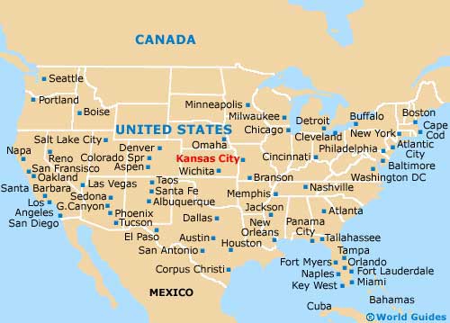
USA Map
Missouri Map

Kansas City Map

